July 25, 2019
Re-Imagining Seattle Streets
This was the challenge presented by Seattle Public Utilities (SPU), with a long connective arterial in the Magnolia neighborhood as our testing ground. This street was selected due to its exceptionally wide planting strips, its underlying water and habitat connections between Elliot Bay and the Ship Canal at the Ballard Locks, and its primacy as a social connector between a community and its institutions. The territory hosts the largest heron rookery in the state, adjoins the wilds of Discovery Park, incorporates the commercial village of Magnolia, and takes in senior housing, churches, and the elementary school, library, park and community center.
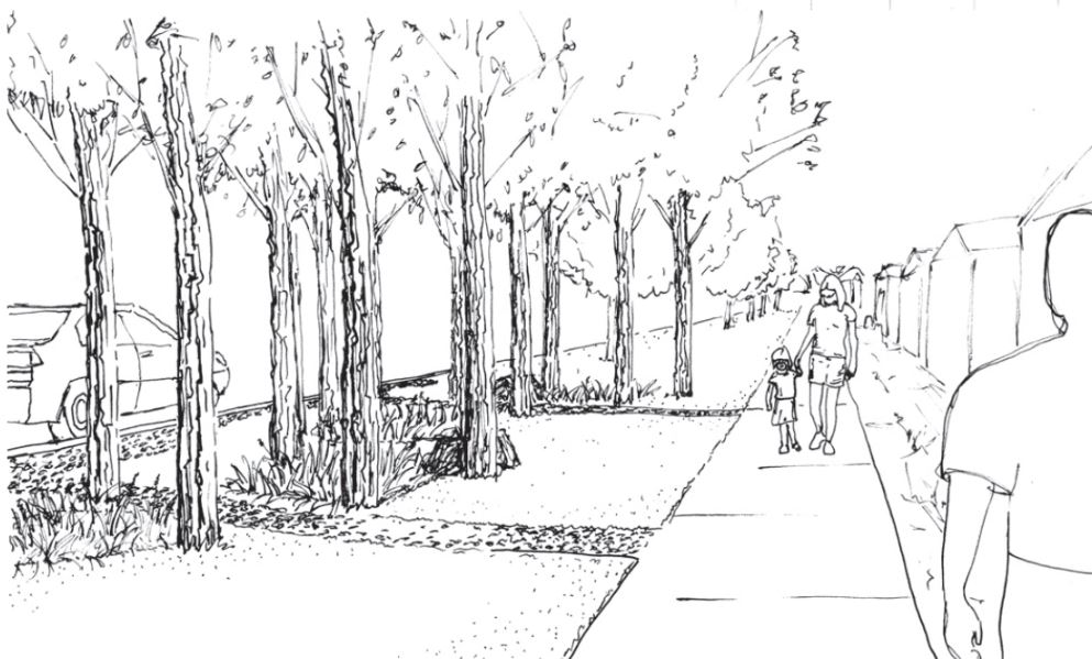
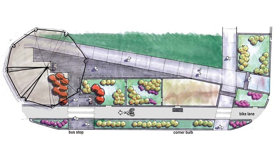
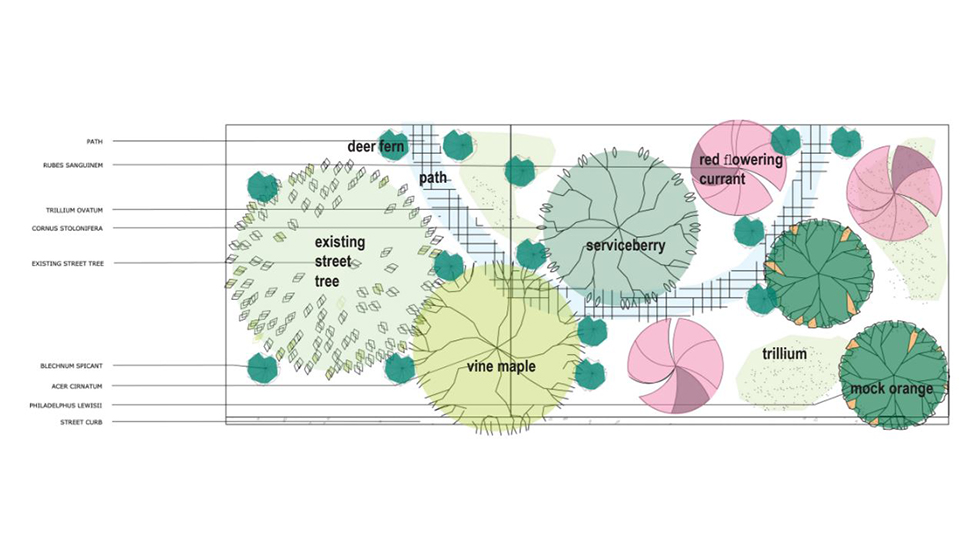
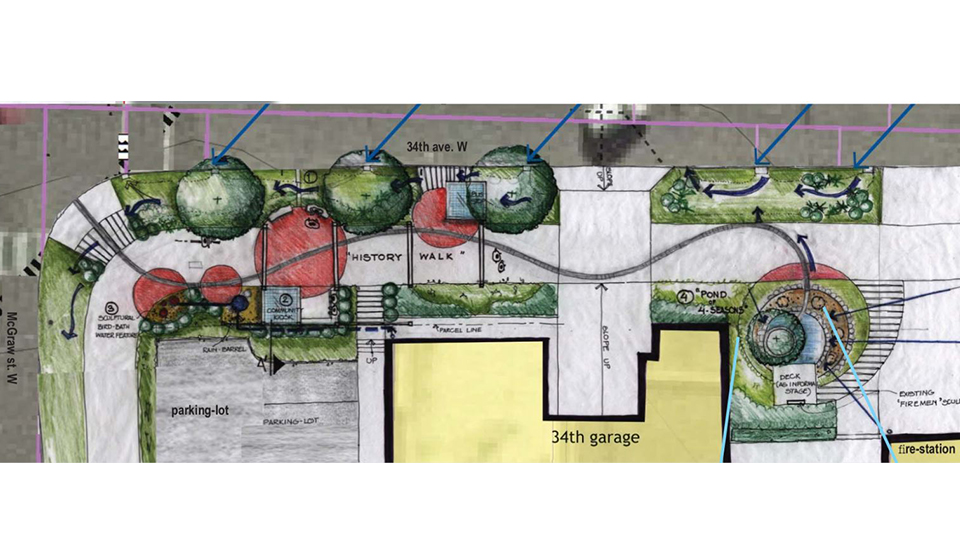
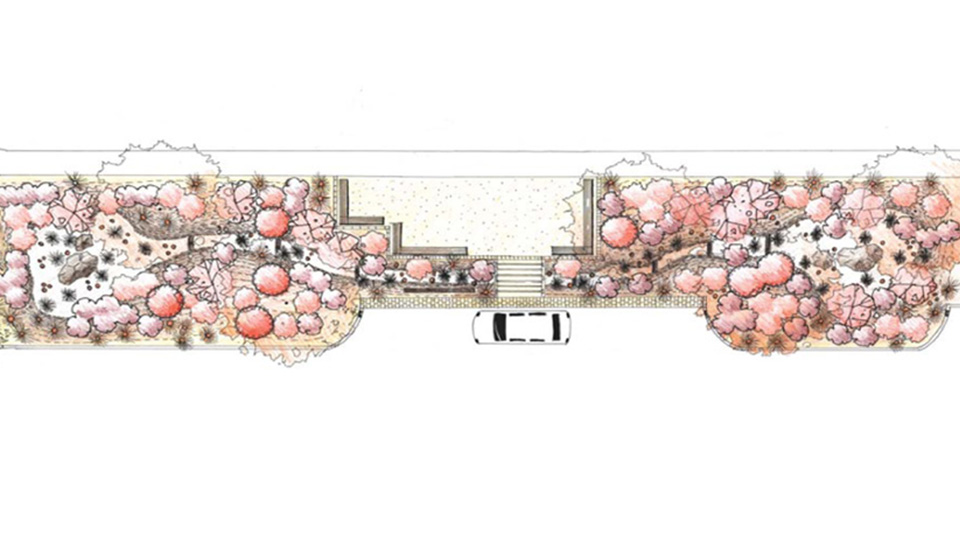
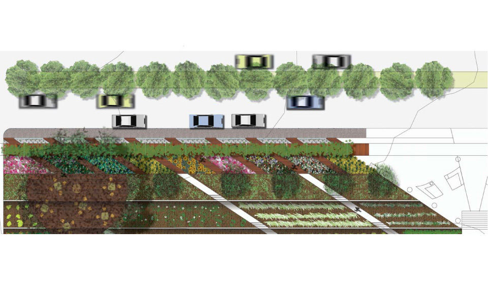
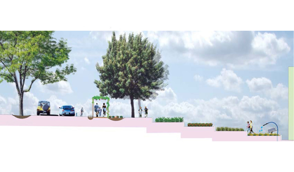
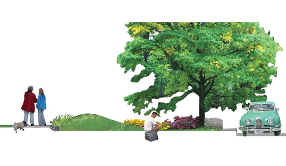
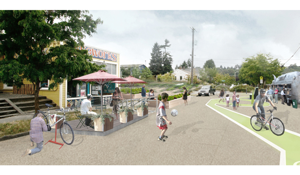
The project included understanding and communicating the local watershed and neighborhood context, and then characterizing the various typical street conditions. UW landscape architecture and planning students developed prototypical proposals for treatment of the street and parking strips, addressing:
– pedestrian and bicycle transportation,
– rainwater harvest, stormwater detention and treatment,
– urban forestry,
– community art, markers and gathering spaces, and
– habitat features and ecologies.
The project explored models for residential, business, and civic land uses, merging ideas in a master plan for the whole of the street.
Partners + Funders
